
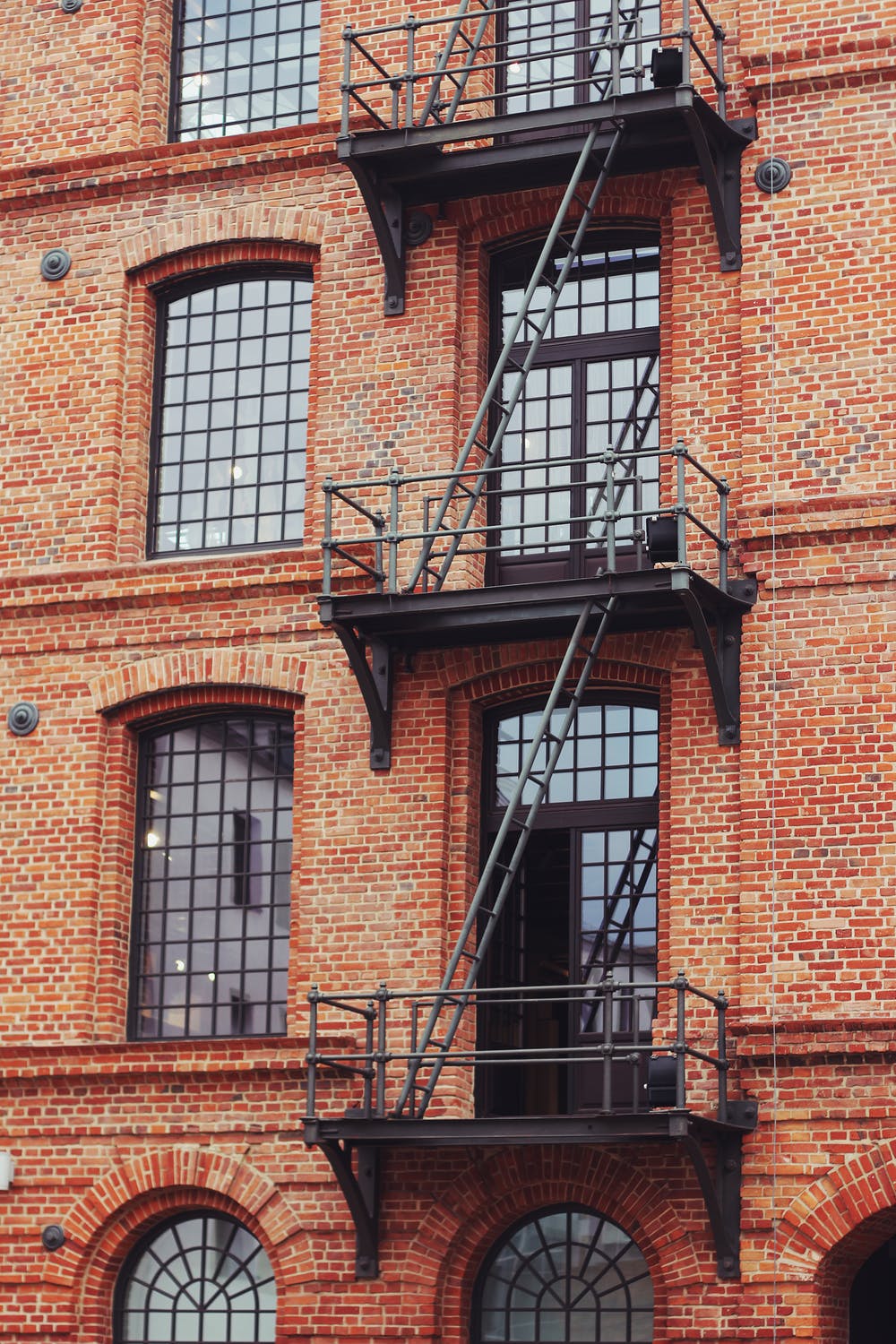
Conduct inspections from the air and reduce claim cycle time
We use DJI's Matrice 210 quadcopter, equipped with the most powerful aerial zoom camera on the market, to conduct inspections from a distance without the need to fly close. We understand claim costs are directly affected by the speed, accuracy and availability of high-resolution aerial imagery when assessing residential and commercial property damage. Our team can help you dramatically decrease claim cycle times and obtain the information you need to make accurate decisions.
“Your services helped our team determine the severity of damage to our customer’s building after a storm, allowing us to create an estimate quickly and accurately.”
assessing damages at nashville international airport
FAQs
Who is flying the drone?
Our fleet of drone aircraft are flown by experienced, FAA certified and licensed pilots. This ensures the highest level of safety on-site.
What’s included?
We offer several entry-level packages that include raw video files of the flight, dramatic photos and more. If you're looking for a custom service, please contact us for a quick and detailed quote.
Where do you Fly?
Professional Drone Services is based in Nashville, Tennessee. We can quickly deploy an FAA certified pilot to any of the surrounding cities such as: Franklin, Brentwood, Spring Hill, Thompson's Station, Murfreesboro. We also love travel projects and are able to send a drone pilot to anywhere in the world!
When will I receive my files?
If you select one of our aerial packages, you'll receive your raw files within 3 business days. If you select a custom quote, we'll discuss a turnaround timeframe before the project gets started.
Do you fly in bad weather?
That depends on the forecast for the day. We love capturing clouds, but want to ensure you get the best shots possible so our pilots may need to reschedule depending on the weather forecast.